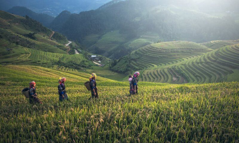
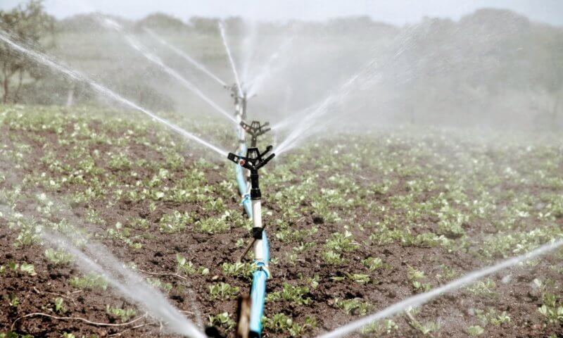
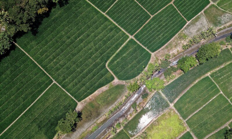
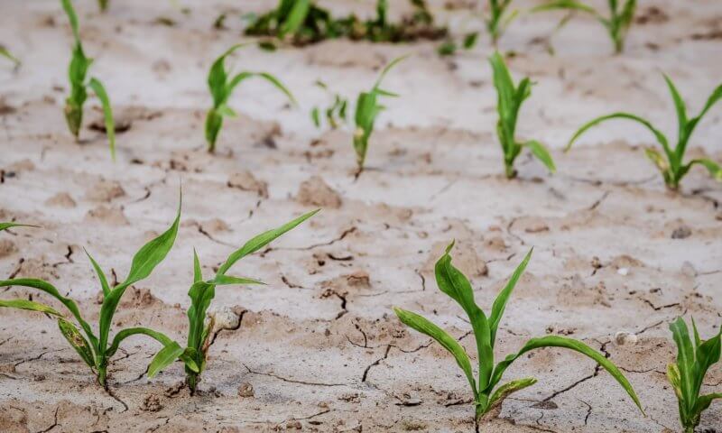
The business unit Water & Agri provides innovative solutions within the agricultural domain to NGO’s and agribusinesses. We develop integrated information services and provide implementation consultancy. By doing so, we ensure we meet user requirements, high social impact and a financially sustainable business case. Our knowledge on complex techniques and our ability to create applications makes us a reliable partner.

Vision

There is a large amount of data available on rural areas: from sensor data to satellite images and open data sources. Recent techniques within data science, artificial intelligence and machine learning can use these large amounts of data to extract new insights.

We believe that the integration of different data sources is essential to create the best information services. With our software systems and domain knowledge, we tackle this challenge. We work with a strong partnership network of research- and technology specialists. With them we are able to provide a one-stop solution, from interactive dashboards to web applications and smartphone apps.

Our services

Large scale monitoring of sustainable water use

As a result of climate change, sustainable water use has never been more relevant like nowadays.  Numerous measures are taken globally to stimulate sustainable water use. At the same time, the effectiveness of these measures is often unknown.  We conduct specialized analyses to accurately determine the water use on a regional scale.  We combine satellite observations, hydrodynamic modelling and trend analysis to provide insights. The monitored water use is presented to end-users in online dashboards, reports and web applications.

Download PDF

Irrigation advice for individual farmers

Many farmers do not yet have access to a reliable irrigation advice. With the help of geodata, weather data and sensor technology we provide detailed to on plot level. By applying detailed hydrological models, we deliver reliable advice for individual plots.  This advice improves crop yield of farmers and contributes to a sustainable agriculture.

Download PDF

Crop monitoring information services

Farmers are well aware of what happens on the plots of their farm. This knowledge is not accessible by other partners of the value chain. By combining field data with satellite data, we are able to build an advanced crop monitoring information services. This information is crucial for the business operations of buyers, processors and suppliers.

Download PDF

Financial risk assessment for droughts and flood

Crop fields are of significant economic value and are the capital of farmers. Damage to the crops can therefore have disastrous consequences to the business operations and the entire economy of the region. We evaluate the risk and possible impact of crop damage as result of droughts, floods and other climate related changes. We compute financial risks for loan and insurance providers based on hydrological knowledge and advance model analysis.

Download PDF

Cases

SpiceUp

The SpiceUp-project provides geo-information to support 100.000 Indonesian pepper farmers. They use the information to improve the quality and increase the quantity of crops. In turn this leads to a better income security, food security and optimizes the use of water, fertilizer and pesticides.

Read more

ESA – Earth Observation for Sustainable Development (EO4SD)

ESA launched the initiative: Earth Observation for Sustainable Development (EO4SD) in order to achieve the uptake of satellite-based environmental information in projects, programmes and activities of the Multilateral Development Banks and their client states.

Read more

Sat4Rice – Geo Information Service for Vietnamese Rice Farmers

In the Sat4Rice project we assist smallholder farmers in producing rice more efficiently and in a more sustainable manner. We developed a geo-information service that combines satellite data, geodata and fielddata that enables farmers to take better decisions and Loc Troi Group more advanced monitoring and resource planning.

Read more

Angkor SALAD: Information service for Cambodian farmers

The Angkor SALAD project provides geodata based information services to over 100.000 vegetable farmers and agribusinesses in Cambodia. The project focuses on irrigation and fertilizer advice, with additionally crop planning recommendations, marketing information and Khmer GAP compliance instructions.

Read more

SMARTseeds

SMARTSeeds offers an information service to over 40.000 vegetable farmers in Indonesia. Through the Sipindo smartphone app farmers receive agricultural advice on how to improve crop production. Improved crop production contributes to food security, as well as the livelihoods of smallholder farmers.

Read more

Want to know how we can help your organization? Contact us.

  • This field is for validation purposes and should be left unchanged.
close