Soil Subsidence Information Service
The subsidence of the Dutch land could result in social costs of up to 25 billion euros, but there was still a lot of information missing. BODIS provides high-quality information and knowledge which assists policymakers, hydrologists, and other specialists in making targeted choices regarding land subsidence.
Read more
Rapid Assessment Tool Urban Heat Island Effect
In order to quickly assess the effects of spatial planning in cities on the heat stress experienced by its civilians, Paul Koot investigates the use of Non-Parametric Bayesian Networks, in collaboration with TU Delft. This novel statistical model can help to obtain a rapid assessment tool to quantify the spatial influence of surfaces on temperature, taking into consideration the uncertainty of all variables involved. In this way a first estimate of the impact of mitigation measures could be made more easily and more quickly.
Read more
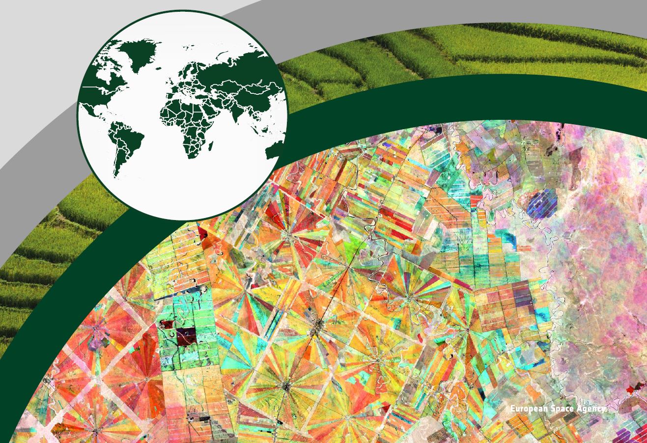
ESA – Earth Observation for Sustainable Development (EO4SD)
The Earth Observation for Sustainable Development (EO4SD), launced by ESA, is an initiative to foster the use of satellite-based environmental information in projects, programmes and activities of the Multilateral Development Banks and their client states. It concentrates on nine thematic areas: agriculture and rural development, water resources management, urban development, climate resilience, disaster risk reduction, marine resources, fragility, conflict and security and Eastern European region. In this project Nelen & Schuurmans task has been to integrate data and make it easily available for all stakeholders.
Read more


